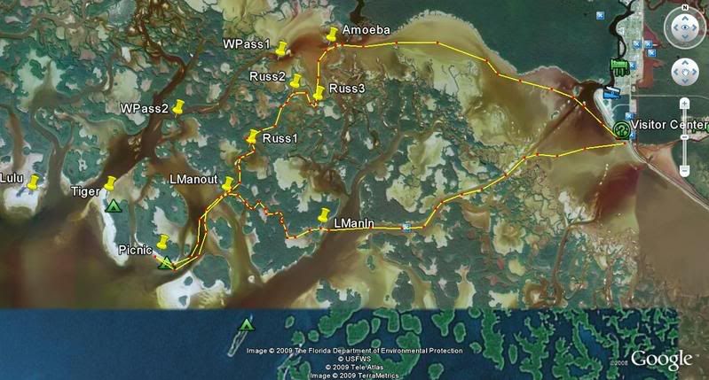
So as not to do a boring Indian Key Pass only paddle we took the Russell Key pass to Gaskin on the way back in.
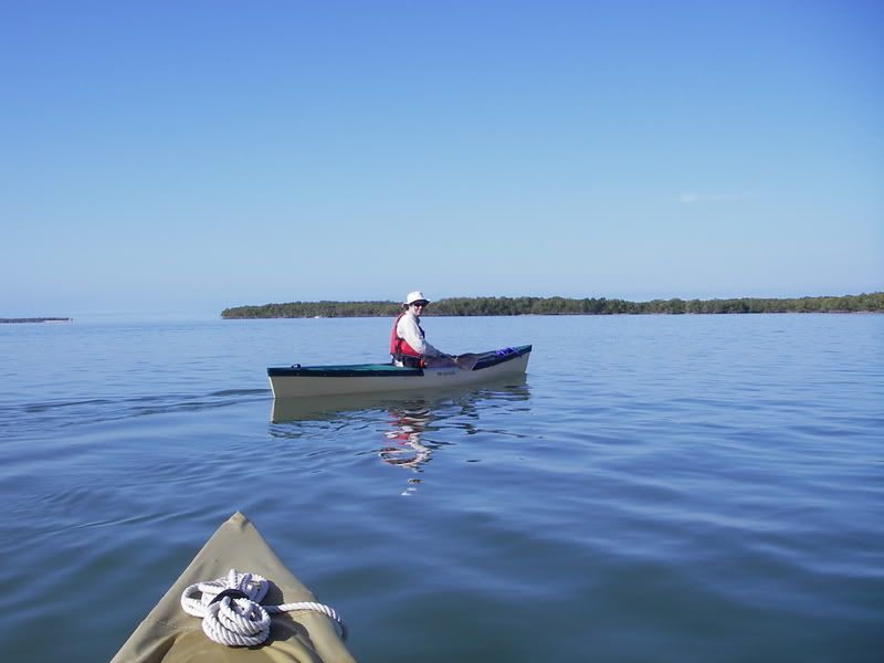
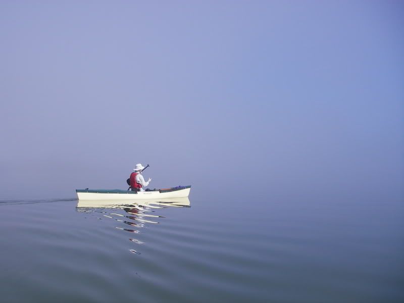
Look how calm it was before entering the LeMans
Before that point I worked the mouth of Indian Key Pass both sides which usually yields a fish or two on the outgoing. N A D A :dontknow: Water was a weird green with mud brew.
After exiting the LeMans I fish the last of the outgoing, switched lures three times. Not one nibble
At slack we take our place on Picnic because there was a group of boys scouts and the island was booked to capacity. Every island was booked and that was the only bad part of the weekend.
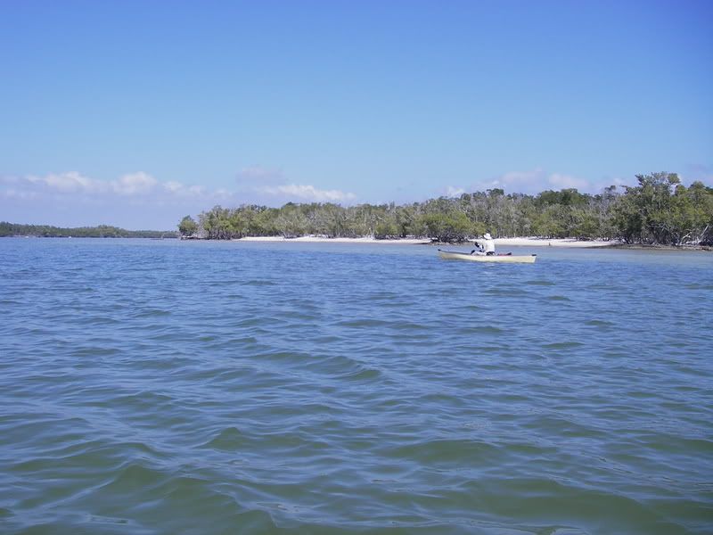
After setting up camp we set out to paddle around Tiger Key and fish West Pass
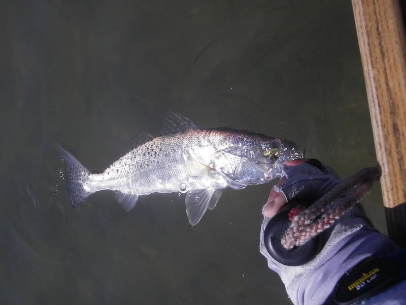
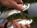
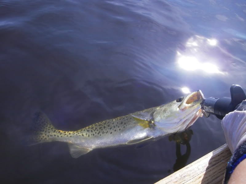
Caught a few trout and they were fun and pretty large. Only took pic of one as I did not want to bring them up or handle them. The saltwater assasin worked better than the other jigs tried.
I did see some of the biggest sheepsheads ever
Back to Picnic I decide to go and fish the incoming at the Stop Keys. Did not get too far when a dense fog came through.
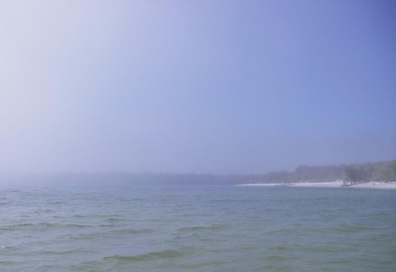
In no time at all I was enveloped in this fog and I could not see much more than about 10 feet around me. I decide to head close to shore and follow the shoreline back to camp. There were boaters out caught in this and I was afraid they would not see me.
That afternoon the fog stuck around until the next day. We could not see the sunset (or tiger key). A group of 15 canoers heading for Lulu had to stop at Picnic because they lost their way. Unfortunately they were the type not to follow regulations. They lit a giant bonfire in the middle of the beach
 not knowing that the fire should be lit at tide line so beach scarring would be minimized. Of course they got drunk and obnoxious and just partied all night. Lucky for those at Lulu, they were spared. :rolleyes: Well the boyscouts did not follow regulations either and set another fire close to the mangroves and not at tide line.
 The next morning the beach was a mess of charred left over fire pits. How pretty is that? I guess they don't teach the boyscouts, leave no trace principles.
Day two back to E City, got up early and decided to use some topwater and shallow plugs on the way in. N A D A
Finally at the entrance to the Le Mans some trout action on the rootbeer swirl tail.
I fished and cast to every place in this pass we have caught fish in the past and not one interested ladyfish, jack or even lowly catfish took the lure.
Oh well...it was a gorgeous weekend on the water after a long, cold and windy winter.